We motored past the Burdwood Group over a month ago, and Al has wanted to go back ever since. The anchorage is quite deep, though, so we wanted settle weather for our visit. (Another reason for staying in Shoal Harbor for so long.)
 |
| This is a first! A casual observer would not understand the significance of this photo. So I will tell you. Normally you would see our anchor chain over the wheel on the right. The fact that it is ROPE coming out from below means that we have deployed ALL 400 feet of chain, and we are nearing 'the bitter end'. |
 |
| Evening dinghy ride, day 1. |
 |
| I have been fascinated by interesting shapes of rocks. This one I call Sugar Cube. |
 |
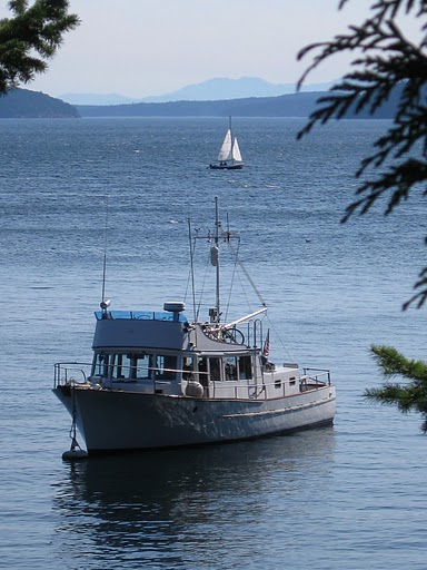
We haven't yet gone far, but when Viking Star comes back into view my first thought is 'Home!'
(Oh, see that little island just beyond the boat? It doesn't exist on our chart) |
 |
| It is delightfully calm in the center of this group of small islands. |
 |
| We can peek out and see Deep Sea Bluff. The 'super highway' of the Broughtons passes by here. |
 |
| Loving this one. We are anchored behind the center green islands. Tribune Channel opens up behind. |
 |
It looks like a sandy beach, but it's a shell midden -- sign of an ancient native settlement.
Now, it is a kayak campground. |
 |
| Home again. |
 |
| Sunset, Day 2. Through the same narrow as previous. |
 |
The knot above truly IS 'the bitter end'.
Since all our chain is deployed, it is an EXCELLENT time to vacuum out the chain locker. Actually, it was in fine shape.
Al is appreciating the hose bib he installed to allow a freshwater rinse as he pulls the anchor up. |
 |
Several resources for the area say that 'charts may not be accurate'. THIS is one case.
We edited our screen for future use, to show the 'missing' island. There was no symbol selection for 'island', so we had to settle for 'large rock' (the large + surrounded by dots) |


No comments:
Post a Comment
Note: Only a member of this blog may post a comment.