 |
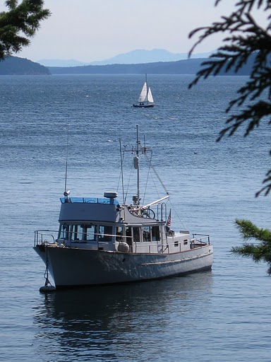
| The view west, toward Foster Island. So smooth and calm. |
 |
| The view south. This is a 'sunny' day in the Broughtons. I DO have my shades on. |
 |
| The view west, toward Foster Island. So smooth and calm. |
 |
| The view south. This is a 'sunny' day in the Broughtons. I DO have my shades on. |

To follow a specific topic, click on the Labels below.
If you would like to see where in the world we are, click here: Viking Star AIS record and see if we have been tracked via AIS.
Check out the Things That.... label, for a report on things we found worked and did not work..
A somewhat popular set of posts is the Costs series where we answer the question: what does it cost to cruise? (at least for US). Special notice to a comparison of one year on land vs. one year on water: Is it really cheaper to live on a boat?
Other popular posts include:
o Building your own Kubota DC Generator,
o . . . and DIY Watermaker.
o Solar Panels,
o Magnum Inverter and Splendide Washer Incompatibility.
A companion Blog describes an Arduino / Amtel based Alternator Regulator and Engine Control for the DC generator: SmartDCgenerator.blogspot.com
For something different follow the Cruising Lifestyle label for those Deep Thoughts kind of posts
No comments:
Post a Comment
Note: Only a member of this blog may post a comment.