Here is Brigadoon with Hat Rock in the distance.

This is an unusual sight for us.....our companions BEHIND us.

Since both of our buddy boats have covered this part of the river previously, we have been content to let them take the lead. But for such a long slog we were considering speeding ahead of the others. However, they were able to kick the squirrels into high gear, and we never really got that far ahead. (It also helped that we took a small detour, but more about that in a moment)
This is entering the Wallula Gap. This is the canyon that caused the Missoula floods 12,000 years ago to clog, flooding what is now Tri-Cities. The formations here are quite spectacular.

 |
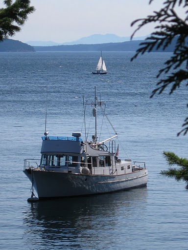
| This gives you an idea how BIG the river is -- that's Maxine on the left, and Brigadoon on the right! |

And here is our friend Sundial, the tug, pushing barges and picking up another in Port Kelley. We once locked down at the Bonneville dam WITH Sundial, who was called 'Sunflower' by gruff-voiced Bob the lockmaster.

This was our side trip.....we were marking the range, or taking readings to verify the accuracy of these markers on the shore. They are meant to guide boats away from a shallow area in the middle of the river. The first is a close-up.

The second shows how hard it is to see the back marker, since it is in the shade.

The Twin Sisters mark the north end of the Wallula Gap. It just looks like one sister from a distance, then two, and hey, maybe even five?!


After leaving the gap the river widens out a lot! Our buddy boats push into the mist ahead.

And the water is rumpled with ribbons.

Finally, 32 miles later, the Kennewick railroad bridge, with the highway bridge behind, and another bridge even further. Just past the highway bridge, take a left into the Clover Island marina, and find the guest dock. Without a little research we would have had no idea where to go. Clover Island has been formed with dredged materials, and has been developed quite a lot in the last three years. Everything is clean and new, except for what we think may be otter or muskrat excrement on the guest dock (not dog, not goose--NO PHOTO).


Al tells me there is a Starbucks nearby! He is online looking for it and a grocery store while I edit photos and write text. We might have to walk a half mile and catch a bus if we want groceries, but the Starbucks is supposed to be 1/10 of a mile away! (Oh, update: The Starbucks is over a mile away. But, maybe we can make it, if we are fresh and desperate in the morning.)
And, regular readers should know that after Tuesday we will be entering a zone where we won't have cell coverage, which means our sure way of internet access will not work. There is a chance we will still be able to pick up a network here or there, but it could be a few days of no posts. I will still continue to WRITE daily, but when we get coverage, multiple posts may show up. Just a head's up. Don't worry.
No comments:
Post a Comment
Note: Only a member of this blog may post a comment.